22 May 2019: The following are some images that we’ll refer to on our walk today, ‘Euston Twilight: ‘Hotels, Boarding Houses and Luxury Squats in Postwar London’, one of a series of ASSC events for Birkbeck Arts Week.
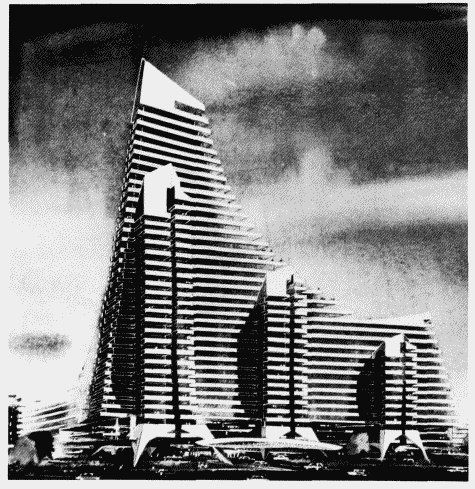
Fig. 1 – London Penta Hotel, Cromwell Road, preliminary scheme by R. Seifert & Partners.

Fig. 2 – Section drawing of Brunswick centre, final design, c. 1968.

Fig. 2 – Section of flat in Brunswick Centre, as imagined by Patrick Hodgkinson in 1960.
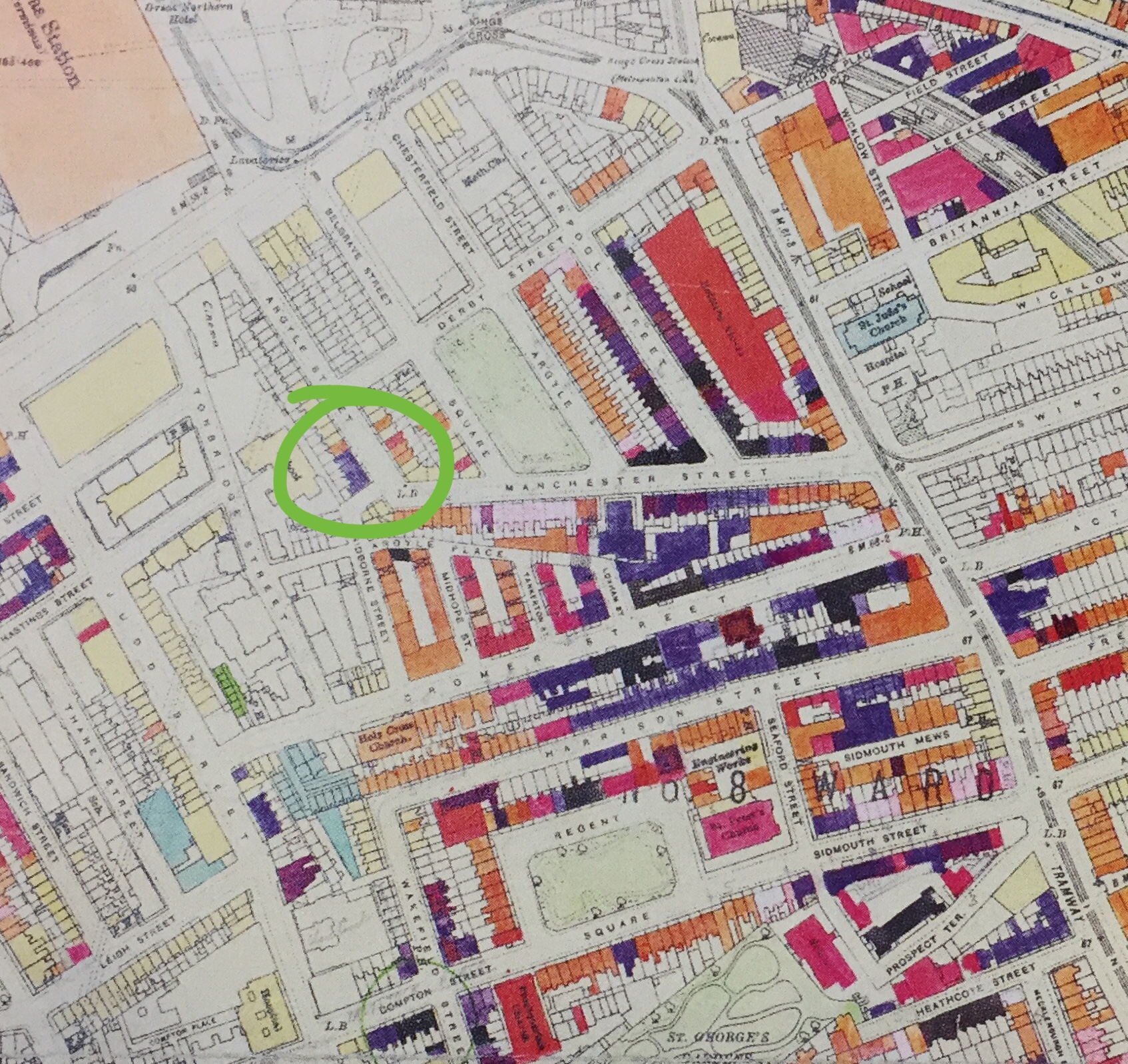
Fig. 3 – LCC Bomb Damage Map, just south of Kings Cross station (detail) – the corner of Whidbourne street is circled in green.
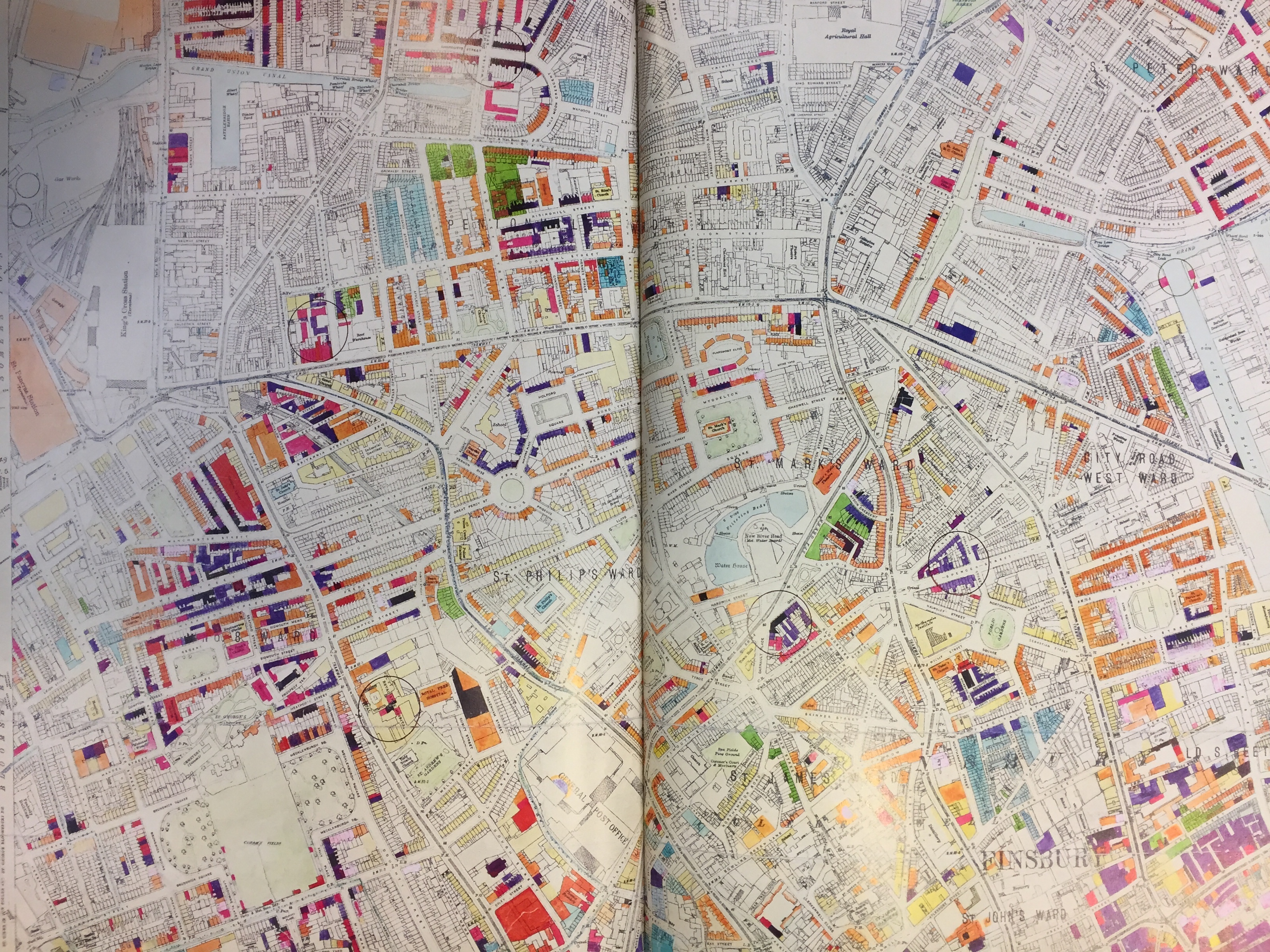
Fig. 4 – LCC Bomb Damage Map, Clerkenwell (including Kings Cross on the far left).

Fig. 5 – LCC Bomb Damage Map, Somerstown / Regent’s Park (including Euston to the centre-right).
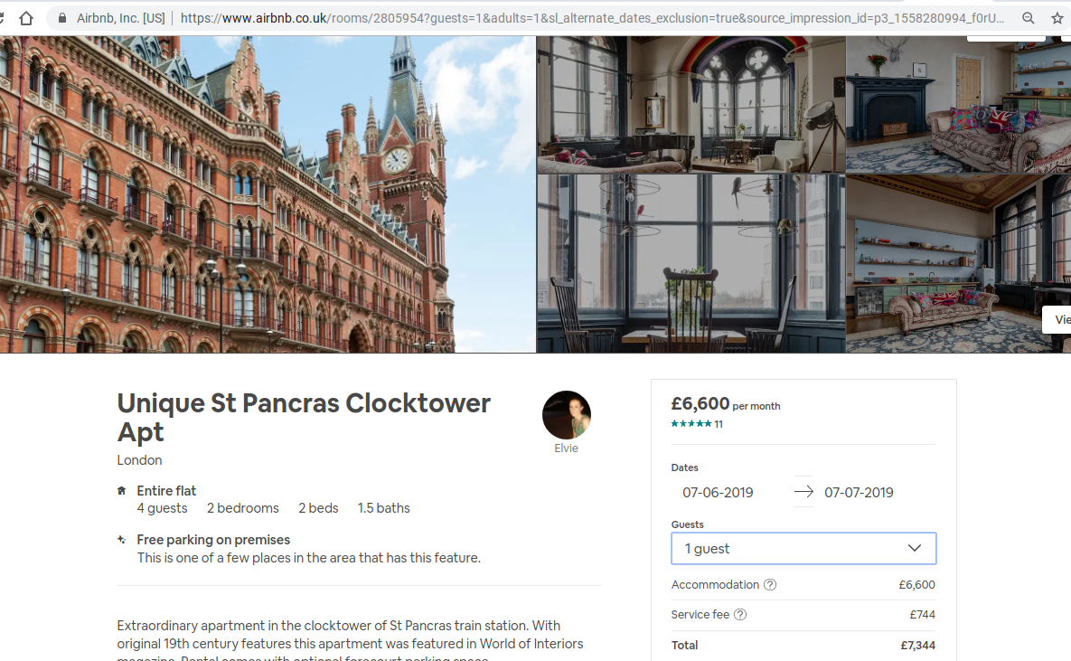
Fig. 6 – St Pancras Clocktower Apartment on AirBnB (£6,600 per month).

Fig. 7 – Frank Auerbach, St Pancras Steps (1978-9)
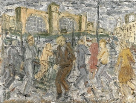
Fig. 8 – Leon Kossoff, Kings Cross, March Afternoon (1998)
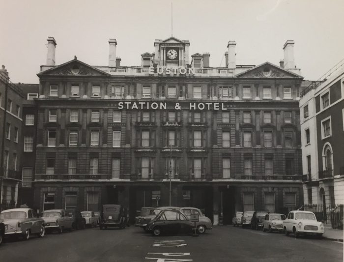
Fig. 9 – Euston Hotel (photographed in 1962)

Fig. 10 – Euston Hotel, first floor plans, c. 1962
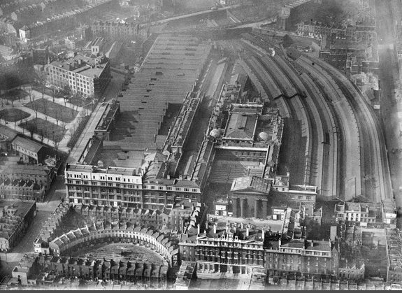
Fig. 11 – Aerial image of Euston (1936).

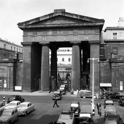
Fig. 12 – Euston Arch with traffic (1961).

Fig. 13 – Map of Drummond Street and surrounding area, from Nick Wates, The Battle for Tolmers Square (1976).
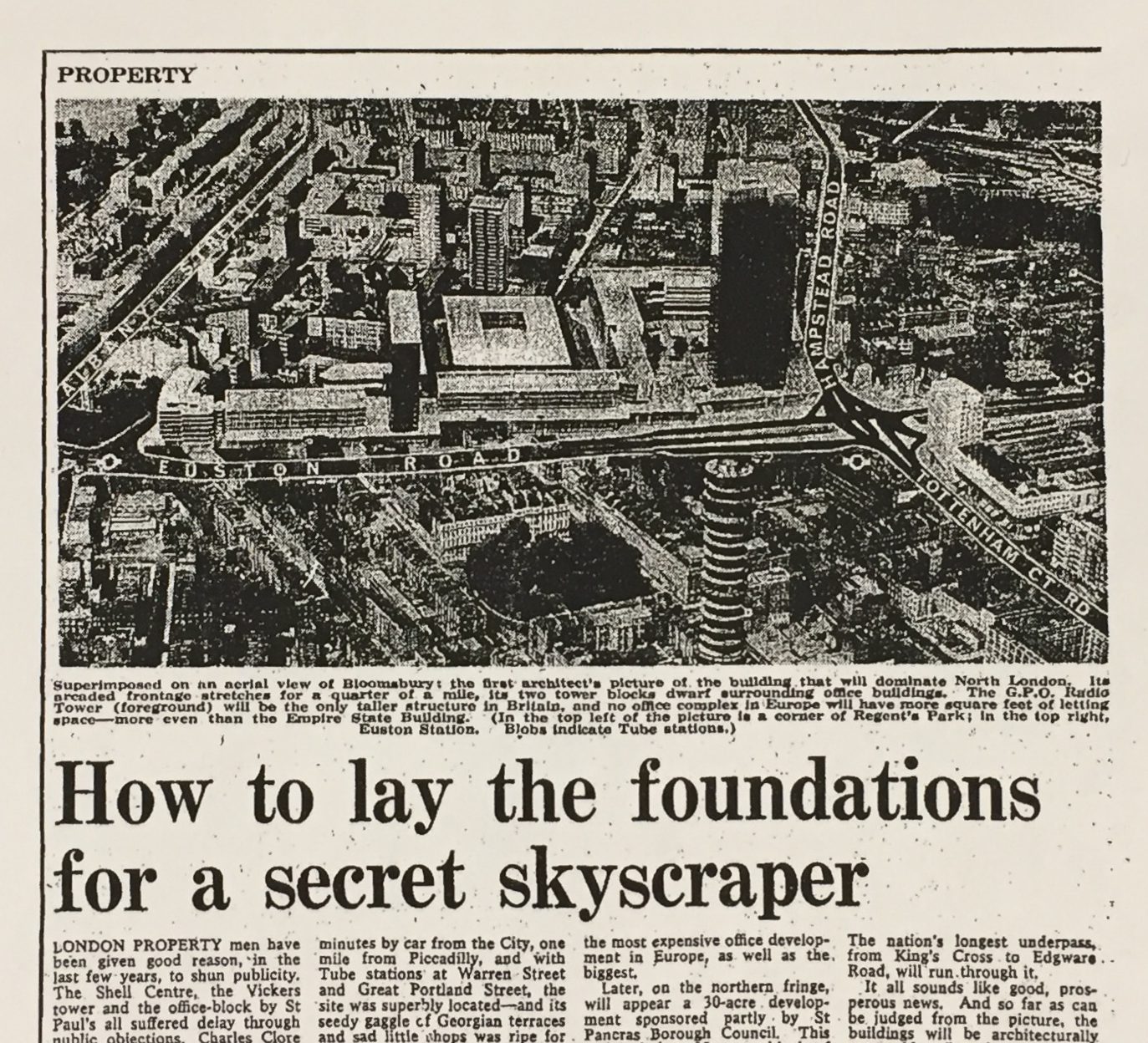
Fig. 14 – The Euston Centre, Sunday Times, August 1964.
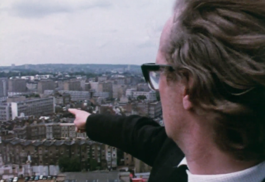
Fig. 15 – Still from ‘Playing the Environment Game’ (1973, dir. Mick Csáky) showing Tolmers Square as it used to exist.
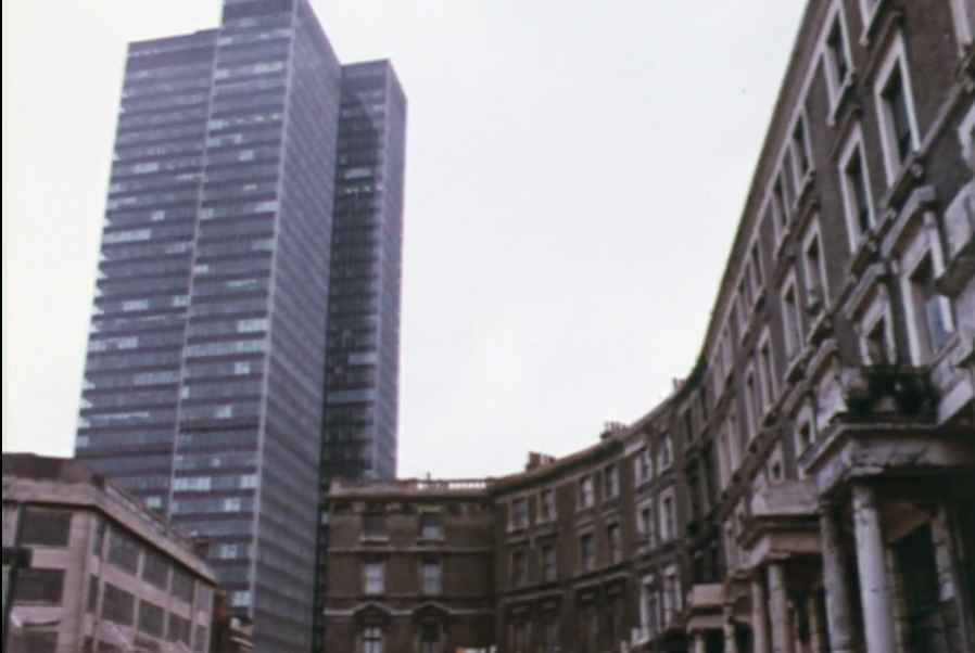
Fig. 16 – ‘Playing the Environment Game’ (1973, dir. Mick Csáky), Tolmers Sq with Euston Tower in background.
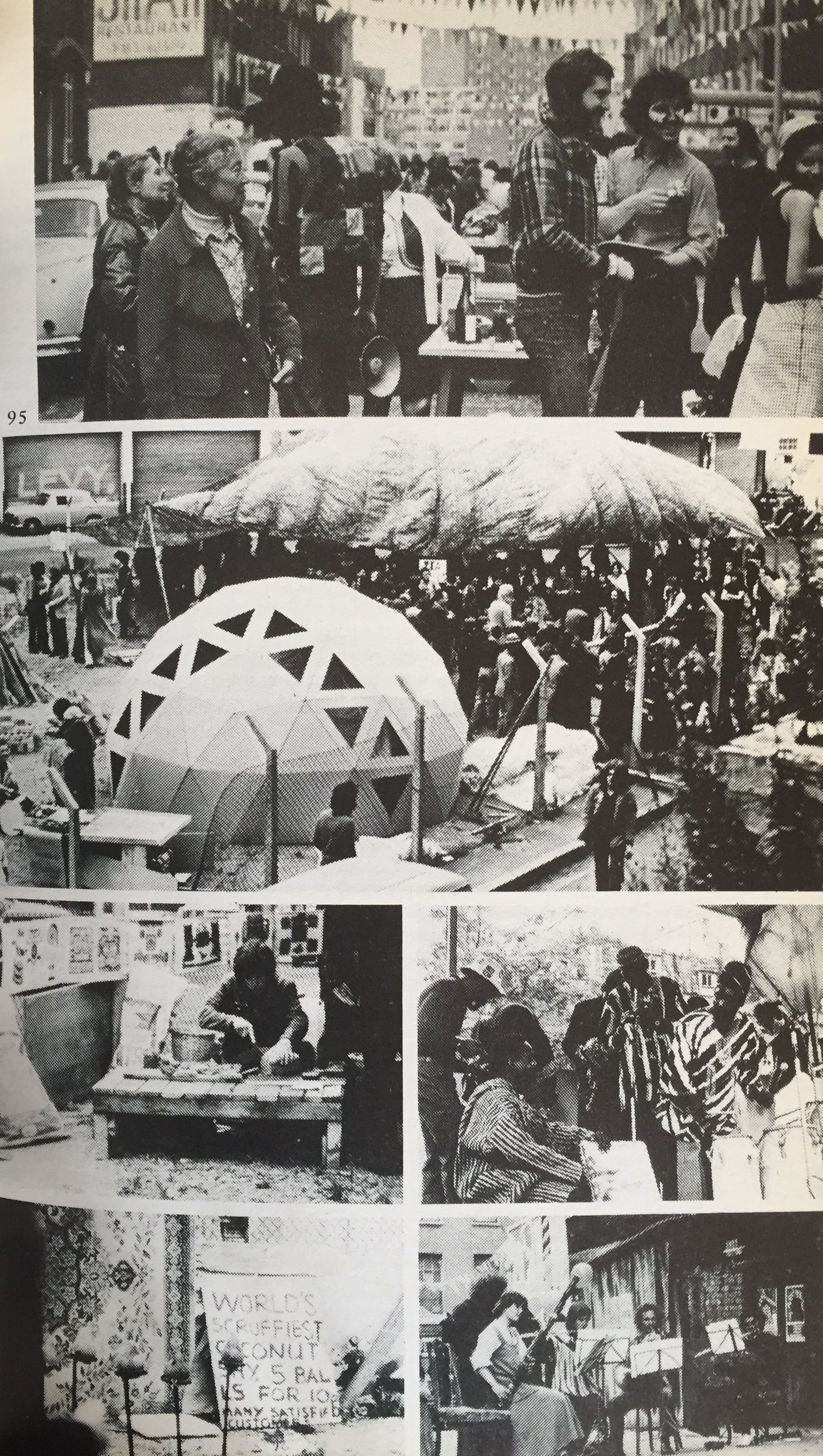
Fig. 17 – Tolmers Square ‘Carnival’ (1973)


June 13, 2019 at 3:48 am
I do agree with all the ideas you have presented in your post. They are very convincing and will certainly work. Still, the posts are too short for starters. Could you please extend them a bit from next time? Thanks for the post.